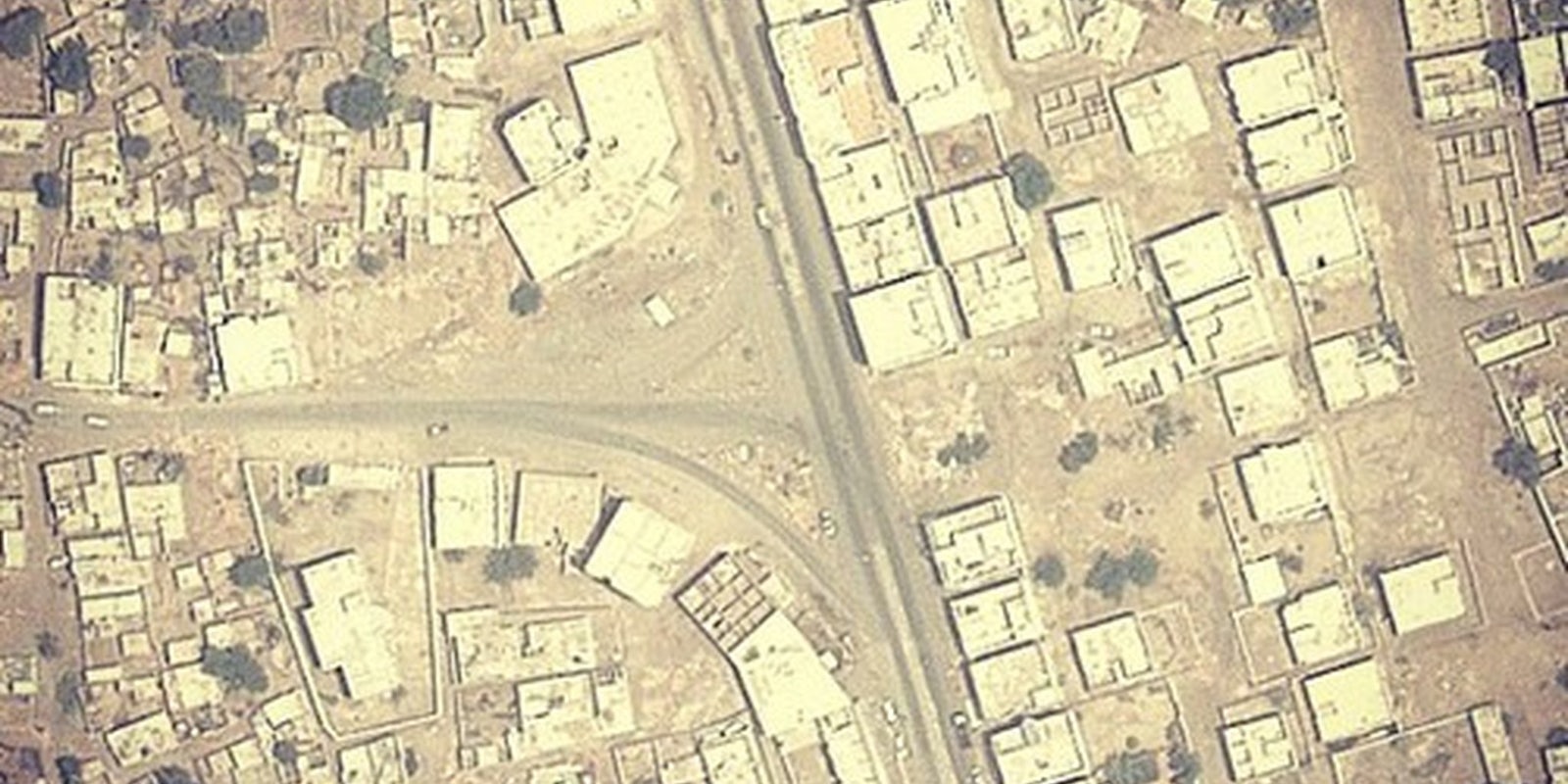
Designer James Bridle has married unmanned drone strike information from The Bureau of Investigative Journalism with Google Earth images to create a series of photos of some of the towns where U.S. and U.K. drones may have struck.
Hosting it on his Instagram feed, he’s called it “Dronestagram,”
There are six photos on the feed so far, and Bridle listed their locations in a blog post. Wadi al Abu Jabara. Beit al Ahan. Jaar. Dhamar. Al-Saeed. Tappi. Bulandkhel. Hurmuz. Khaider Khel.
“These the names of places. They are towns, villages, junctions and roads. They are the names of places where people live and work, where there are families and schools. They are the names of places in Afghanistan and Yemen, which are linked by one thing: they have each been the location of drone strikes in the past couple of months.”
The relationship between military technology, our own personal technology use, and war itself is seldom examined in any but the most cursory and abstract way. Using photos of once-intact villages where human beings went about the business of living makes the consequences of war, specifically of high-tech, distance-controlled drone use, much more tangible.
“Whether you think these killings are immoral or not, most of them are by any international standard illegal,” Bridle said. He has created Dronestagram in order to make “these locations just a little bit more visible, a little closer. A little more real.”
Bridle is also syndicating these images to Tumblr and Twitter accounts for a wider spread of information.
“History, like space, is co-produced by us and our technologies,” Bridle said. And this is true of Bridle’s project as well. As he himself said, “information on exact locations is scarce; where a precise location is not given, the view should be within a few kilometres in most cases.” That means the photos may be of the target of a drone, or they may not be.
History, after all, is co-produced by us and our technologies.
Photo via James Bridle/Instagram


