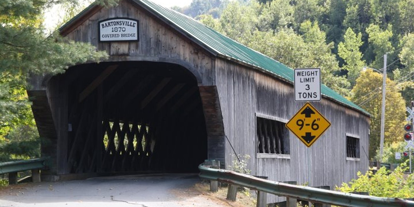
Leaning against a pair of wooden road blocks, a sign said it all: ‘Covered Bridge Closed.’
Closed, but certainly not forgotten, as the small village of Bartonsville, Vermont continues to rebuild after the devastation of Tropical Storm Irene, which assaulted the state in late August. Residents have turned to social media sites like Facebook to gather support and raise awareness about the iconic covered-bridges destroyed by the storm, including one made famous by YouTube.
On Aug. 28, the storm, by then downgraded from a hurricane, barreled down on the Green Mountain State. Watching the Williams River rage underneath the 141-year-old Bartonsville Covered Bridge, Susan Hammond grabbed her camera to record what was soon to become history. After the bridge fell into the river, she rushed home and posted the video. Within hours, thousands of people had seen it and some television networks had picked up the story. The shaky video had become a symbol of the storm, thanks to the wide reach of YouTube. A few months after it was posted, it has gained almost half a million views.
Now local residents and covered bridge fans can gather on a Facebook page dedicated to keeping folks up to date on the efforts to rebuild the historic covered bridge. Although activity is slow on the page—so far it only has 162 fans—the page is regularly updated with links to news stories and photos of the rebuilding effort. Currently the town is clearing debris from the area and hopes to start construction on a new covered bridge next year; the page administrator optimistically wrote, “If all goes well about a year from Irene we will have our covered bridge back.”
Another site, Vermont Covered Bridges, has been even more popular, gaining 1,827 fans, and has a similar goal of trying to inform people of the rebuilding progress and show how people can help. Covered bridges comprised a handful of the dozens of bridges damaged or destroyed from the August storm. Both sites serve as an outlet for information about the rebuilding process, both for locals and those familiar the iconic passages.
Amazingly, the state has rebuilt a dozen bridges with temporary structures, repaired 200 and reopened some 500 miles of roads, according to the New York Times.
Part of that process has been documented by the state of Vermont, with the help of Google, to map out damaged or closed roads. A map available on the Vermont Agency of Transportation website illustrates, with colored lines and dots, roads that are closed, being repaired or reopened. More than three months after the storm, there are only a few red lines left and, just like the sign in the village of Bartonsville, those lines will soon disappear.
Photo from the Bartonsville Covered Bridge Facebook page


