Apple may build California’s most beautiful products, but Google is mapping California’s most beautiful places. While the Cupertino computer maker honors the state’s landmarks with its operating system, Google plants its virtual flag in the actual landmarks by bringing them to Street View.
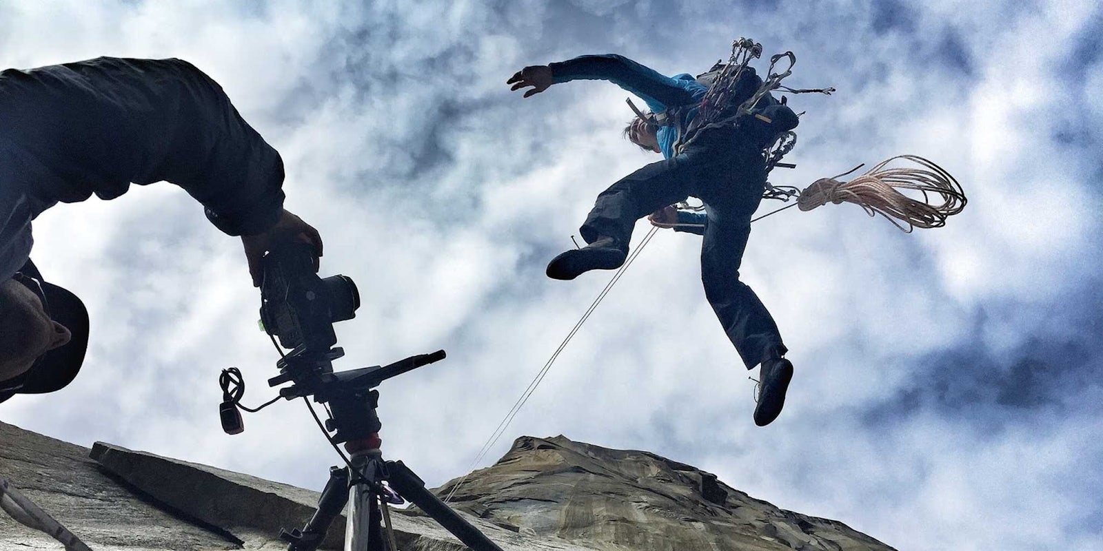
The search giant’s latest high-profile Street View update brings people onto the sheer cliff faces of El Capitan, Yosemite National Park’s famous rock wall extending 3,000 feet into the sky.
The rock-climbing-and-photographing project marks the first vertical collection of photos in Street View, which the company launched in 2007 to create a world of virtually navigable streets. Having mapped out untold numbers of streets, Google then branched out into other geographic features, visiting the Great Barrier Reef, the Pyramids of Giza, and the Colorado River, among other off-road treks.
Google has experts in many fields, but climbing mountains is not necessarily one of its strong suits. To make sure the trip was worth it, the company farmed out the journey to legendary climbers Lynn Hill, Alex Honnold and Tommy Caldwell. The pros led the exhibition upward, equipped with cameras to capture the entire experience.
The explorable photo set of the trip to the top of El Capitan includes a considerable amount of information about the climb and what went into the process. Details about the climbing process, equipment, and locations are scattered through the images.
Google’s expedition up the wall may only be a virtual experience, but it’s still not for the faint of heart. The photos capture every part of the trip, dizzying heights and all. Avert your eyes if you’re acrophobic, or you might get real sick from the virtual adventure.
Photo via Google


