There is change happening beneath the waves. Climate change, overfishing, pollution, and a number of other environmental factors—like a massive trash ball floating in the Pacific—contribute to the destruction of one of Earth’s most vibrant ecosystems.
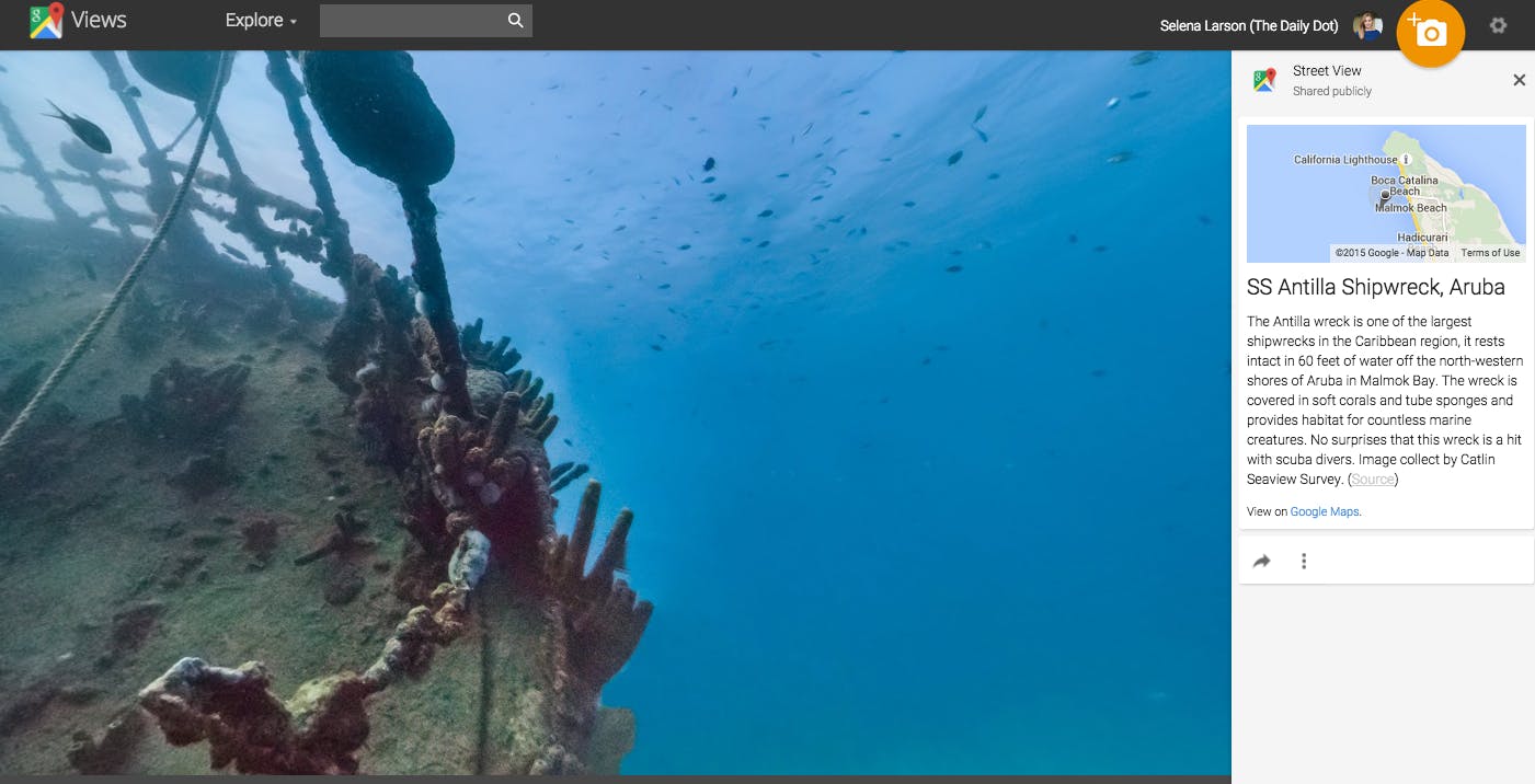
To help people better understand the different ways our oceans are impacted by changes in the environment, Google embarked on a four-year partnership with Underwater Earth and the XL Catlin Seaview Survey to map our oceans with Street View.
You can now explore underwater ecosystems and beaches through Google Maps.
Launched just in time for World Oceans Day on June 8, Google’s project takes viewers to 40 locations around the world, exploring uncharted coral reefs, changing coastal environments, and marine animal kingdoms.
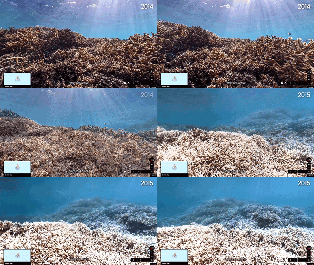
But it’s not just meant to inspire people to take a virtual undersea vacation—Google and its ocean-mapping partners are using this footage to track the ways our environment is changing. In a poignant pair of GIFs, Google Maps shows people how drastic the destruction of ocean environments can be thanks to global warming.
These images were taken one year apart in American Samoa. As water temperatures rise and underwater storms make for volatile ecosystems, coral reefs are bleached white. You can see how much the coral reef was destroyed in just one year.
Man-made pollution is drastically impacting marine life. According to UNESCO, every square mile of ocean contains 46,000 pieces of floating plastic, and plastic trash is responsible for one million dead seabirds and over 100,000 sea mammals each year.
Google, along with nonprofit and scientific partners, wants to save our oceans. The company is committed to documenting life beneath the sea and charting the changes caused by pollution and climate change. The 40 locations are just the beginning—the company will be continuously adding more resources for research and entertainment purposes.
You can start exploring today at maps.google.com/oceans.
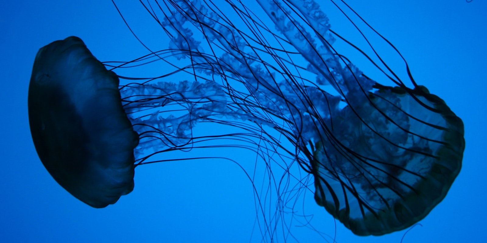
Photo via abbybatchelder/Flickr (CC BY 2.0)


