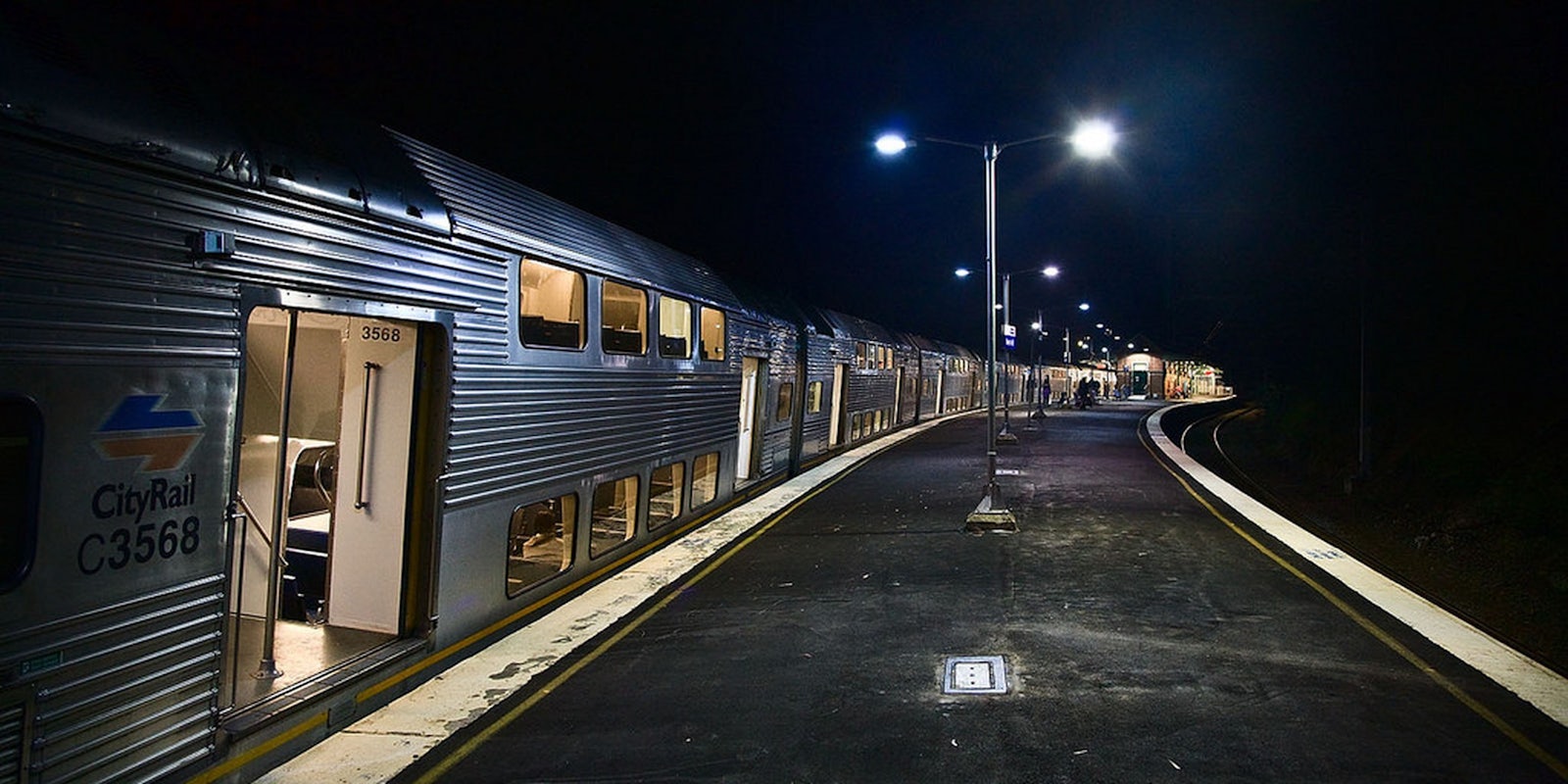
Google Maps is updating its iOS app in a way that will warm the cockles of every urban tippler’s heart. Maps shows people how to get from point A to B while driving, walking, or taking public transit, and it even pulls up certain transit schedules, so users know when to arrive at a station or stop. Now, Google Maps will sift through public transit schedules to alert users when the last possible time they can catch public transit home is.
As Betabeat pointed out, this is basically a “drunk train” feature, helping people figure out how late they can stay out without having to smooth talk a friend into crashing on their couch (or, a far more odious fate, shelling out for a pricy cab or Uber).
Most big U.S. cities have public transit dead periods, and although Google wouldn’t admit to Betabeat that they’d designed the feature for this purpose, anyone who’s ever bummed it on a friend’s floor, using a towel as a blanket, knows it’s going to be a much-loved addition. Parting is an especially bitter sorrow when it turns out you have to wait for two hours at the station as the sun rises and a particularly cantankerous alcoholic duo aggressively panhandles two feet away, the smell of wet cigarettes and failure hanging in the early morning air as a hangover latches onto your tequila-weary soul.
If this feature can prevent people from having to loiter in morning-after shame, Google might as well embrace the fact that it just created the drunk train feature.
H/T Betabeat | Photo via Flickr/Richard Taylor (CC BY 2.0)


